IC w3 Mapping
- HildeMaassen
- Feb 13, 2020
- 1 min read
Updated: Aug 16, 2020
With my own work I started mapping after the first live session with Paul.
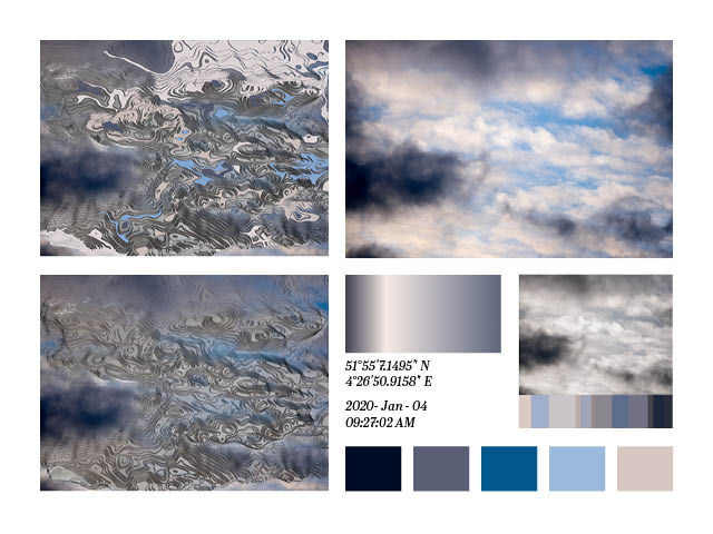
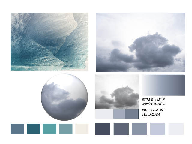
After having looked at the oldest atlas in my posession I tried to make pages with the original image, the results of mapping, sometimes with and other times without incoloring. A gradient generated based on the colors. The five most important colors. The GPS coordinates and the time that I took the original image (not the time that I mapped them).
Some of the images could represent parts of the world that I know. The first one for instance could be the Rotterdam area.


Without much fantasy I could see Africa in the clouds below.
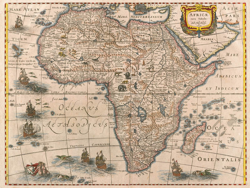


Source
HONDIUS, Henricus 1666. Africae Nova Tabula. Amsterdam http://themaphouse.com/search_getamap.aspx?id=125018&ref=AFR5568 [accessed 12 February 2020]


Comments